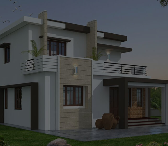
Drone documentation not only complements your existing construction documentation but completes it. As operators around the world are learning, it has the ability to transform your next virtual walkthrough, construction site, or open house.
See Beyond Your Eyes Reach
Drone documentation allows you to see your project, home, or construction site far beyond your eyes reach. Get a birds eye view of the site and take video, images, and scans accurately and consistently. Drone documentation perfectly complements traditional 3d laser scans.
Get the Most Accurate Measurements
Take measurements with millimetric precision from hundreds of feet in the air. Perfect for taking measurements in hard to reach areas, on remote jobsites, or hundreds of feet above your head. Drone documentation is especially helpful in taking measurements of skyscrapers, historical buildings, and everything in between.
Take Measurements Remotely
With advances in technology, drone documentation can be done completely remotely. View your scans anywhere you have an internet connection, and view your videos, images, and documents immediately at a moment's notice.
Accurate As-Built Documents
Drone documentation allows us to create accurate as-builts of any space, and perfectly complements traditional 3d laser scans. Give a top down view of a site from space, and ensure that no space is left unscanned on your property.

See Beyond Your Eyes Reach
Drone documentation allows you to see your project, home, or construction site far beyond your eyes reach. Get a birds eye view of the site and take video, images, and scans accurately and consistently. Drone documentation perfectly complements traditional 3d laser scans.

Get the Most Accurate Measurements
Take measurements with millimetric precision from hundreds of feet in the air. Perfect for taking measurements in hard to reach areas, on remote jobsites, or hundreds of feet above your head. Drone documentation is especially helpful in taking measurements of skyscrapers, historical buildings, and everything in between.

Take Measurements Remotely
With advances in technology, drone documentation can be done completely remotely. View your scans anywhere you have an internet connection, and view your videos, images, and documents immediately at a moment's notice.

Accurate As-Built Documents
Drone documentation allows us to create accurate as-builts of any space, and perfectly complements traditional 3d laser scans. Give a top down view of a site from space, and ensure that no space is left unscanned on your property.
-


Universal Platform
Develop your drone apps Android, laptops, embedded computers and web.
-


Robust and Powerful
Develop your drone apps Android, laptops, embedded computers and web.
-


Vehicle Agnostic
Develop your drone apps Android, laptops, embedded computers and web.
-


Free and open
Develop your drone apps Android, laptops, embedded computers and web.
-


Easy to Use
Develop your drone apps Android, laptops, embedded computers and web.
Process
Available Online
Area Are You Looking For?
- Properties
-
Construction
Sites - Homes
- Businesses
- Resorts


