
As-Builts
Create virtual tours beginning with simple 2D outlines, converting into 3D full immersive experiences.

01
Bim Modeling
Building Information Modeling (BIM) is an intelligent 3D model-based process that gives architecture, engineering, and construction (AEC) professionals the insight and tools to more efficiently plan, design, construct, and manage buildings and infrastructure


02
CAD Floor Plan
CAD files are complete sets of construction drawings in an electronic file format. Obtaining CAD house plans is especially beneficial if you plan to make significant changes to your building or structure, and helps to streamline the construction process at any stage of a project.
03
3D Renderings
3D Renderings bring your blueprints, documents, and renderings to life. View your plans similar to a virtual walkthrough, and share with builders, contractors, clients and more, enabling a quicker approval process, streamlining construction plans, and taking your project to the next level.


01
Bim Modeling
Building Information Modeling (BIM) is an intelligent 3D model-based process that gives architecture, engineering, and construction (AEC) professionals the insight and tools to more efficiently plan, design, construct, and manage buildings and infrastructure
02
CAD Floor Plan
CAD files are complete sets of construction drawings in an electronic file format. Obtaining CAD house plans is especially beneficial if you plan to make significant changes to your building or structure, and helps to streamline the construction process at any stage of a project.
03
3D Renderings
3D Renderings bring your blueprints, documents, and renderings to life. View your plans similar to a virtual walkthrough, and share with builders, contractors, clients and more, enabling a quicker approval process, streamlining construction plans, and taking your project to the next level.
3D Laser Scanning
How Does it Work?
3D laser scans steer beams throughout spaces, where 3D objects deflect them. A laser rangefinder records deflection distance to quickly and accurately capture surface shapes. Finally, state-of-the-art software admixes, or combines, multiple surface models from different viewpoints, to construct a virtual 3D model.

What Type Of
Area Are You Looking For?
-
Properties


-
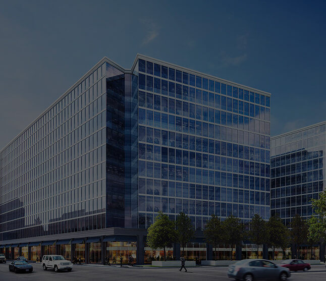
Construction


Sites -
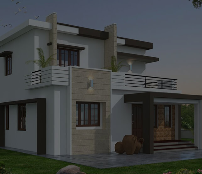
Homes


-
Businesses


-
Resorts

